

Aragats is marked as the highest peak of the Republic of Armenia. It has four peaks (Eastern, Northern, Western, Southern) and a crater in the center. The image of the latter is indescribably beautiful from any peak. This image results from the harmonious combination of rocks and snow and the depth of the crater, which is about 1000 meters relative to the highest peak. The highest peak of Aragats is the Northern, which is also the highest point in Armenia – 4090 m.
Northern-4090m
Western-3995m
Eastern-3908m
Southern-3887m
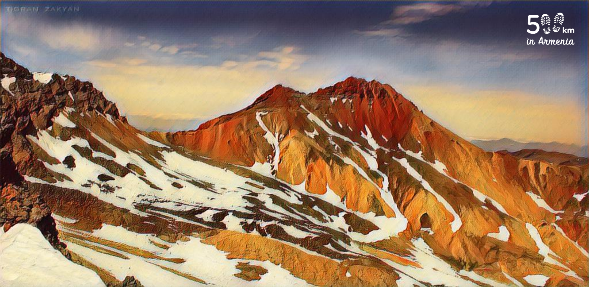
The relative height of the mountain is about 2100 meters. It also has a huge footprint surface. Most of the Aragatsotn region is the foothills or slopes of Aragats. Some scientists believe that Aragats was about 7,000 meters high before its eruption.
The nature of Aragats, in view of its size and spread, is very diverse. In general, we can characterize the following orientations: rocks, hills, meadows, springs (rivers and ponds), and snow. The fauna is varied, there are large predators – wolves, bears, and often above the peaks of Aragats one can see a flying eagle.
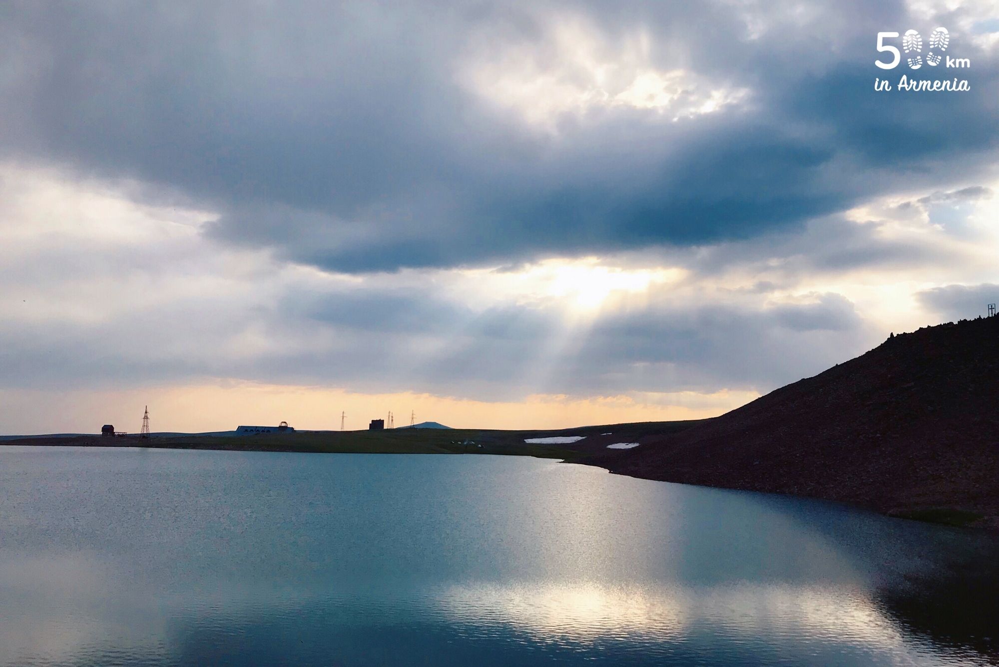
There are numerous monuments and ancient settlements on the slopes and foothills of Aragats. There are also many natural monuments – waterfalls, mountain lakes. The spring-waters of Aragats feed hundreds of thousands of people, and these cold water reaches the capital Yerevan.
Aragats is visited by thousands of hikers and tourists every year. The southern peak has more visitors, which is easier to climb than others.